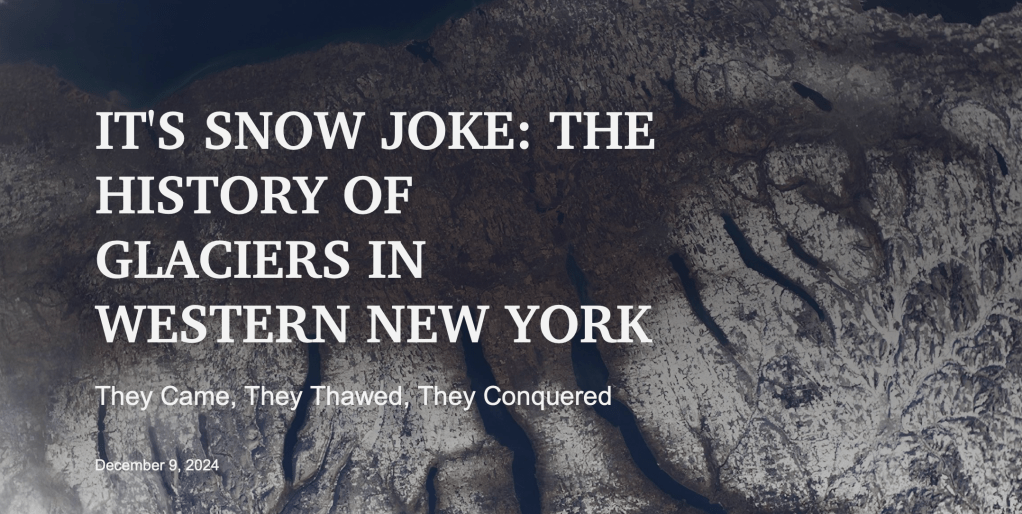
Post-bacc student Regan Collins and Rachel Glade have created an ArcGIS Storymap as an interactive, digital storybook to explain the geologic history of the Finger Lakes region, focusing on changes in the area that have happened over the last 20,000 years (when Rochester was covered by the 2km thick Laurentide ice sheet). The site includes an interactive Google map with different local sites of interest with landscape features that point to our geologic past, especially post-glacial features that we use to interpret past climate, for which our region is possibly the best in the world (e.g., glacial moraines, drumlins, eskers, The Finger Lakes). Rachel and Regan are in the process of spreading the word locally through University of Rochester, RMSC, and Rochester Academy of Science, and will soon participate in an outreach field trip with 7th graders at Mendon Ponds to teach them about glacial geomorphology.
